Loading

AERIZONE INDUSTRIES

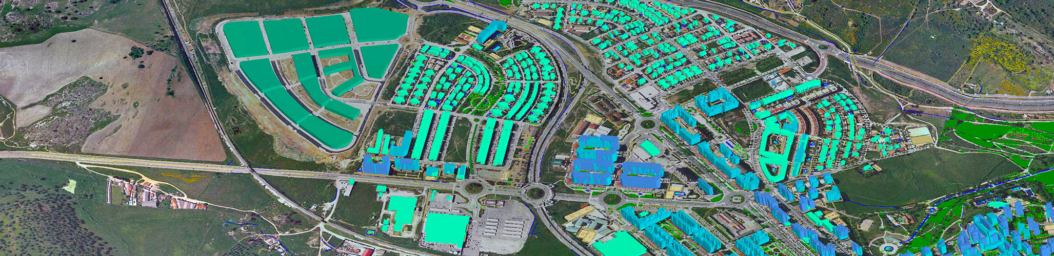
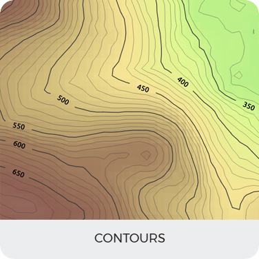
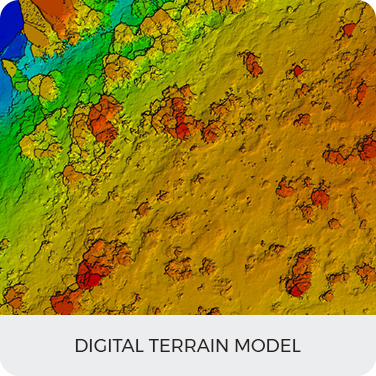
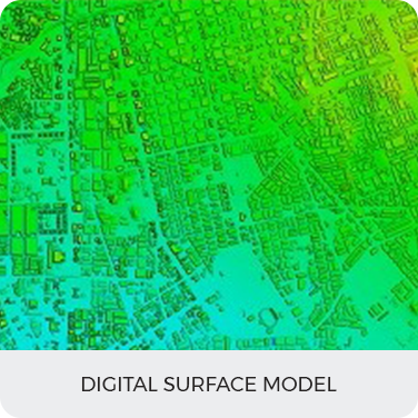
From the Leaders in Drone Data Technology

GIS (GEOGRAPHIC INFORMATION SYSTEM)

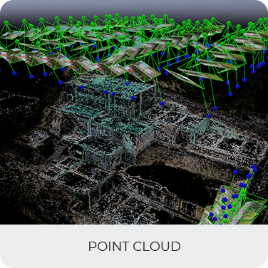
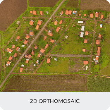
Aerizone’s Drone-based geospatial Information empowers enterprises with reliable alternative data sets to make better-informed decisions. Our UAV pilots are busy round the year flying a variety of Drones for mapping projects.

We always strive to provide services at an extremely competitive charge and in adherence to all regulatory guidelines to deliver you a range of advanced GIS analytics.

  • Total feature extraction.
  • Aerial LiDAR-based classified point cloud.
  • L-Section and X-Section views in AutoCAD.
  • 2D&3D Basemap.
  • Chainage and Slope profile analysis for the entire ROW.
  • Volumetric Analysis.
  • Stockpile Management.

Benefits

  • Reach and hover over some extremely remote areas.
  • Equipped with multiple optical and SONAR sensors we can measure, transmit and store data quickly.
  • Our deliverables include various formats and software integration which can be used to produce topographic and hydrographic maps.
  • Our geotagged data can be also be rendered in Esri’s ArcGIS online web service and integrated into ArcGIS (or other possible GIS platforms) for further processing.
  • UAV based operations improves accountability and did not disrupt construction operations.

Deliverables

Contours
Digital Terrain Model
Digital Surface Model
Point Cloud
2D Orthomosaic

Contact us today to see what we can do for your business

CONTACT US