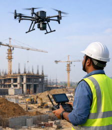
Empowering organizations to implement drone based solution into their workflows..

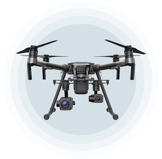
DRONES
DRONES
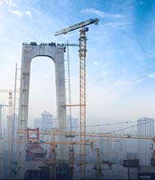
Choose from fleet of fixed wing and multirotors suitable for every environment.

SERVICES
SERVICES
Get the benefit of our expert services for collecting and analyze aerial data to provide in-depth reports you can keep you ahead in business decisions.

TRAINING

TRAINING
Get training from us and learn to fly safely with respect to latest the Government rules.

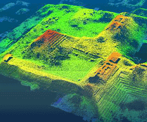
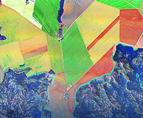
SENSORS
SENSORS
Every project is unique. Not sure if RGB, Lidar or Multispectral UAV sensor is right for you? We'll evaluate your specific use cases and more to suggest the best sensor or combination.

SOFTWARE
SOFTWARE
We provide industry leading drone based software platforms which help you integrate UAV data into your preferred software solution.

ANALYTICS
ANALYTICS
Get advanced analytical tools to prove out the value of drones to make well-informed, de-risked investment decisions within a rapidly evolving technology.
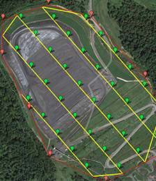
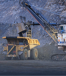
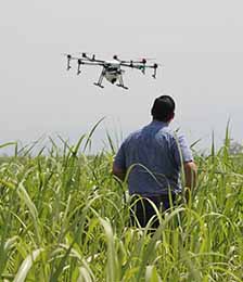
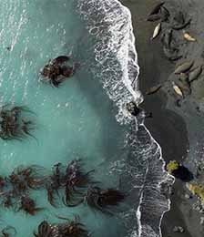
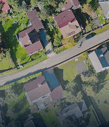
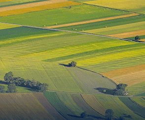
Use Aerial maps and data to optimize time management, make informed decisions, minimize risks to enhance productivity.
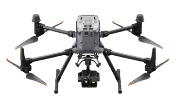
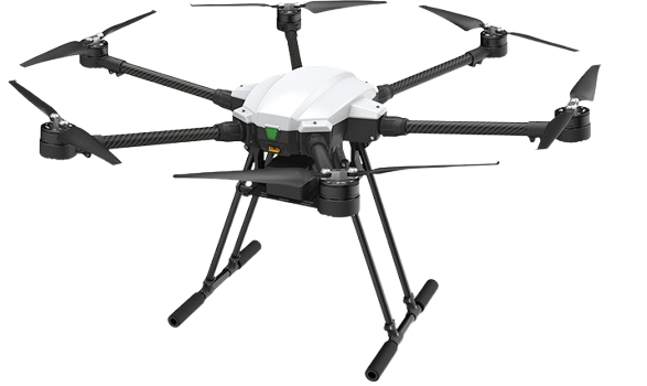
Learn about the drones in our aerial data platform.
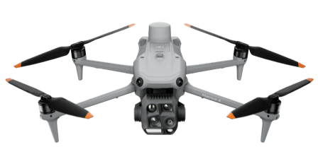
Other Features: 49-Min Max Flight Time
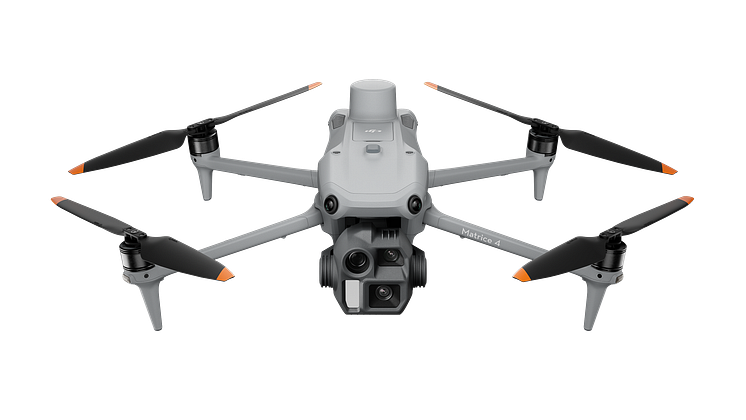
Other Features: 49 Min max flight time
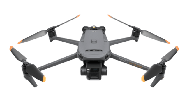
Other Features: 45-min Max Flight Time
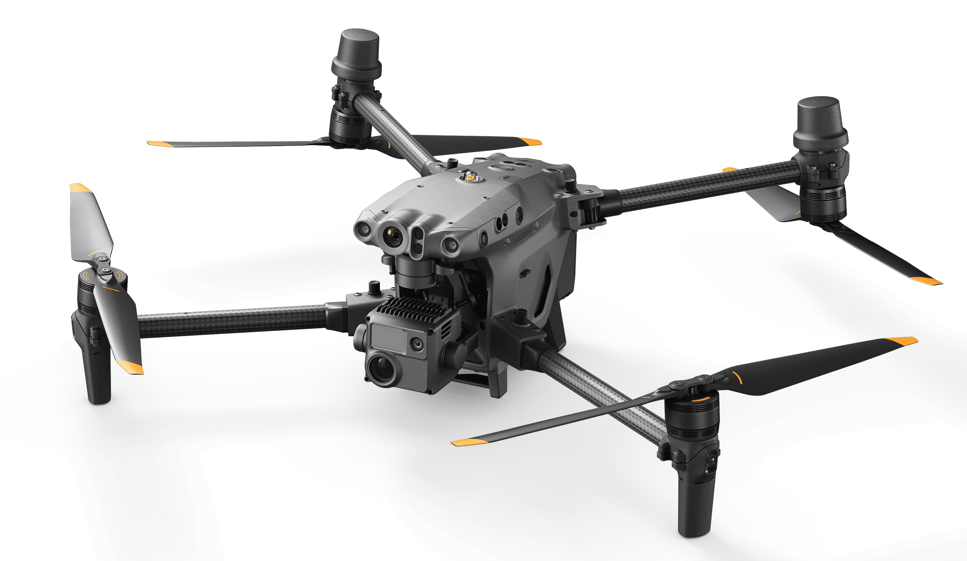
Other Features: 41-Min Max Flight Time
Other Features: 55-Min Max Flight Time
We provide you with the flexibility to choose the sensor that best suits your specific goals and objectives. With our diverse selection, you can confidently find the right solution to achieve success in your projects.


Export data in the format you need for full integration with current industry software systems.

Including: AutoDesk, VectorWorks, xBIM, Graphisoft and more.

Including: ArcGIS, GeoMedia, MapInfo, Manifold GIS and more.

Including: SolidWorks, AutoCAD, CATIA, Rhino and more.

Including: Adobe, Mapbox and a number of 3rd party softwares.
BLOG
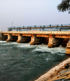
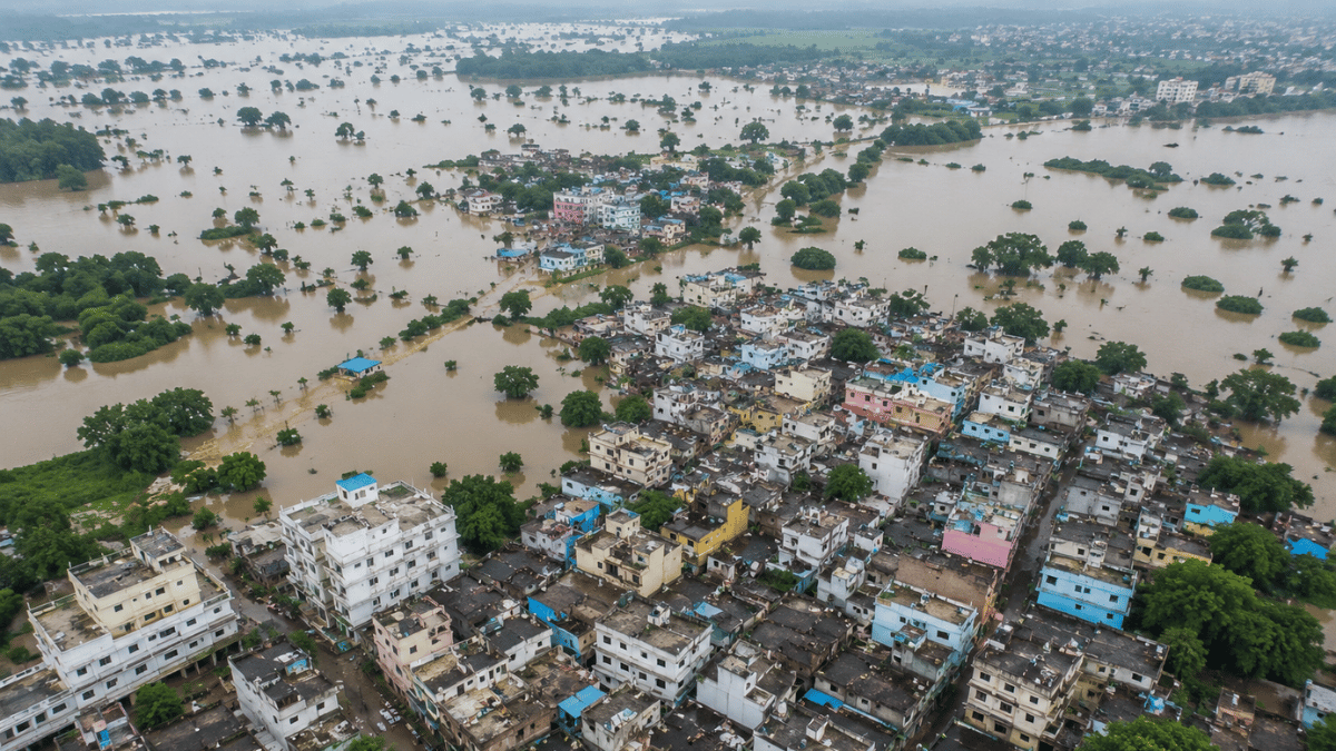
Natural disasters are becoming more frequent and intense, leaving communities and emergency responders with little time to react. From devastating floods and wildfires to earthquakes and dam failures, timely information is critical for saving lives, minimizing damage, and coordinating rescue efforts. Traditional ground surveys often take hours—or even days—to assess affected areas, especially when roads […]
LEARN MORE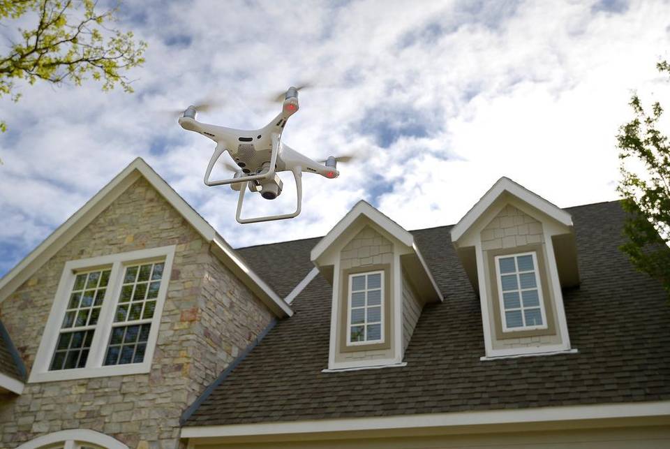
BLOG
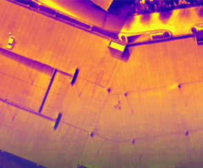
One can assess surface damages on houses, buildings with ease as it is visible easily and the repair procedure is not difficult. But when it comes to damages on rooftops, things get a bit tricky, one has to send manual workers up on the roof using ladders and using other risky ways. […]
LEARN MORE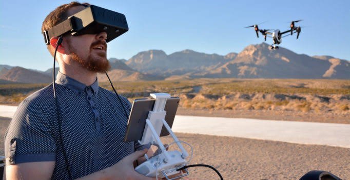
BLOG
A major technology that is on the rise today is that of Drones, aerial vehicles capable of flying at high speeds, high altitudes, equipped with high-quality cameras and sensors. Drones in India are providing enterprising assistance to industries such as Agriculture, Construction, Mining, Railways, Roadways, and many more. What if you combine this technology with […]
LEARN MORE