The applications of Drones are increasing on a daily basis. Ranging from Agriculture, Mining, Construction, Railways, Inspection, and many other areas people are still discovering. Businesses are integrating Drone-based technologies into their operations and are realizing its potential, but the one really important question is, can the accuracy of the survey data by drones trust?
Ultimately, what any business expects from an investment are returns. If a business wants a survey to be done, the end result should be accurate and relevant data that can be put to use.
Here is information regarding the definition of accuracy, measurement, and verification of accuracy. It’s important for Drone companies and businesses to use this technology to be aware of the accuracy level they need. Different projects require different accuracy levels, some projects just need an aerial view or photographs to make general conclusions, but some projects require minimum inaccuracy levels as businesses need to make critical decisions based on the results obtained from the survey. Hence, accuracy in the drone data survey is a very important factor.
Here are 5 points you need to know regarding Drone survey data:
Ground Sampling Distance-
The spatial resolution or GSD in Photogrammetry terms is one of the most important factors when it comes to the Drone survey. In simple words, it is the pixel size in the field. The spatial resolution depends mainly on the factors related to the camera such as focal length and camera resolution and also depends on the altitude the drone is kept at. Let us take an example, to achieve 3 inches pixel size using a hobby drone, the flight altitude should be maintained at 25 m.
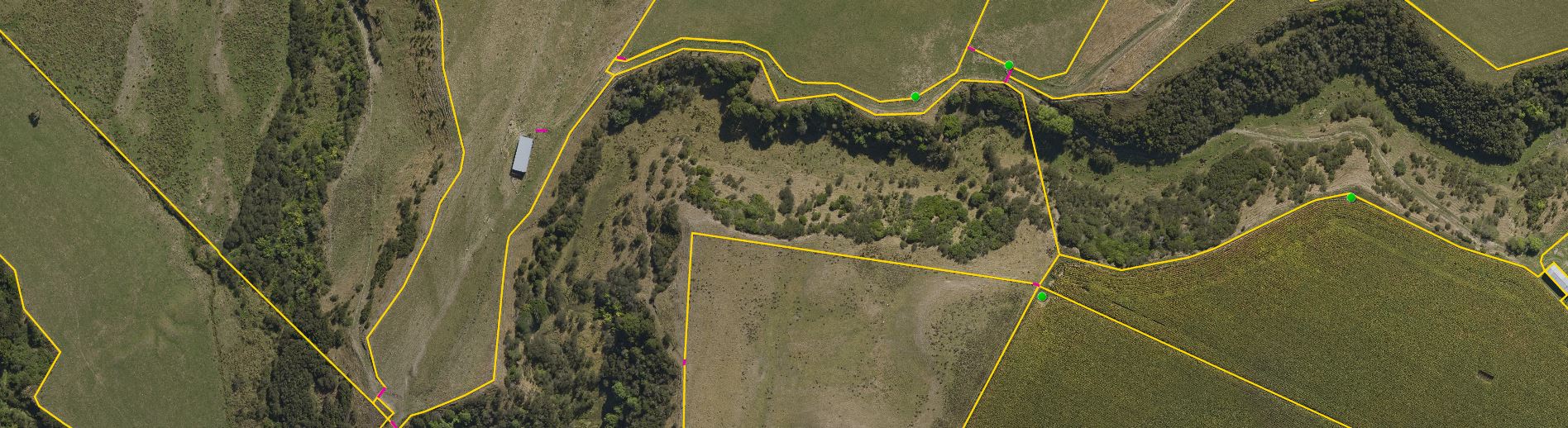
- Influencers of Drone accuracy- What the complete data survey comes down to is the quality of the photogrammetry process and the Ground Control Point accuracy. The absolute accuracy of the survey conducted has to be less than that of the GCP. Hence, it is critical to make sure the points are measured with an accuracy higher than the pixel size. Another factor which influences the absolute accuracy is the relative accuracy of your model. When one brings together hundreds or even thousands of images taken with a small drone camera, it is almost impossible to have each pixel on the map located exactly where it should be.
- Accuracy levels in Photogrammetry- Various researches have been conducted regarding the accuracy levels derived in Photogrammetry. Important factors that contribute to errors found in photogrammetry are the terrains with irregular altitudes and negligible characteristic objects where identifying tie points becomes difficult to create a mosaic for example desert, forest, and water. Overall, the researches concluded a confidence level above 95% and the conclusion arrived at was that the final accuracy was at par with traditional survey methods.
- Determining the accuracy level- A critical roadblock to determining the accuracy level is that an accurate 3D model, orthophoto map, and DEM very often look identical to an inaccurate one. If there are good weather conditions, stable flight, and decent GPS conditions in addition to a regular terrain with characteristic points that can be used to match images followed by proper image overlap, the model should be pretty accurate. In order to achieve good results, it is advised to measure some checkpoints in the field, besides the Ground control points, these checkpoints will help you calculate the accuracy of the model using regular surveying calculation methods.
- The Requirement of Accurate survey Data- The final accuracy level required completely depends on the project and its requirements, Globally, matching the accuracy levels and determining it is solely the responsibility of the surveyor. Moreover, the accuracy levels are also determined according to the rules and regulations provided by the Government. Another important factor to be considered is that the resolution and accuracy level should not be higher than required. Using low resolution such as 1 cm creates more than hundreds of Gigabytes of raw data which has to be processed by the delivery company to create meaningful results and outputs to be given to the client. Similarly, using a 2 cm resolution generates about 4 times fewer data up to hence making it easier for the delivery company to deliver results using fewer resources for storage and processing.
These were the most important 5 points to be considered for the accuracy of the data collected by using Drones. To conclude, Yes, Drone-based Data can be trusted as they accomplish very high accuracy rates and give bright results. So go ahead and use that piece of Data collected by Drones, they won’t disappoint you.